Remote Sensing and GIS Engineer - Precision Agriculture - Benguerir
Enseignement - Secteur Enseignement / Formation
- Intermédiaire (3 à 5 ans)
- 1 poste(s) sur Marrakech et région - Maroc
- Bac +5 et plus Minimum
Extraversion Organisation Respect des règles Besoin de réflexion Recherche de nouveauté
- CDI
- Télétravail : Non



Entreprise :
Mohammed VI Polytechnic University is an institution dedicated to research and innovation in Africa and aims to position itself among world-renowned universities in its fields The University is engaged in economic and human development and puts research and innovation at the forefront of African development. A mechanism that enables it to consolidate Morocco’s frontline position in these fields, in a unique partnership-based approach and boosting skills training relevant for the future of Africa. Located in the municipality of Benguerir, in the very heart of the Green City, Mohammed VI Polytechnic University aspires to leave its mark nationally, continentally, and globally.
Ce que nos collaborateurs aiment le plus chez nous ❤ : Pour consulter leurs avis certifiés
Culture de l'entreprise :
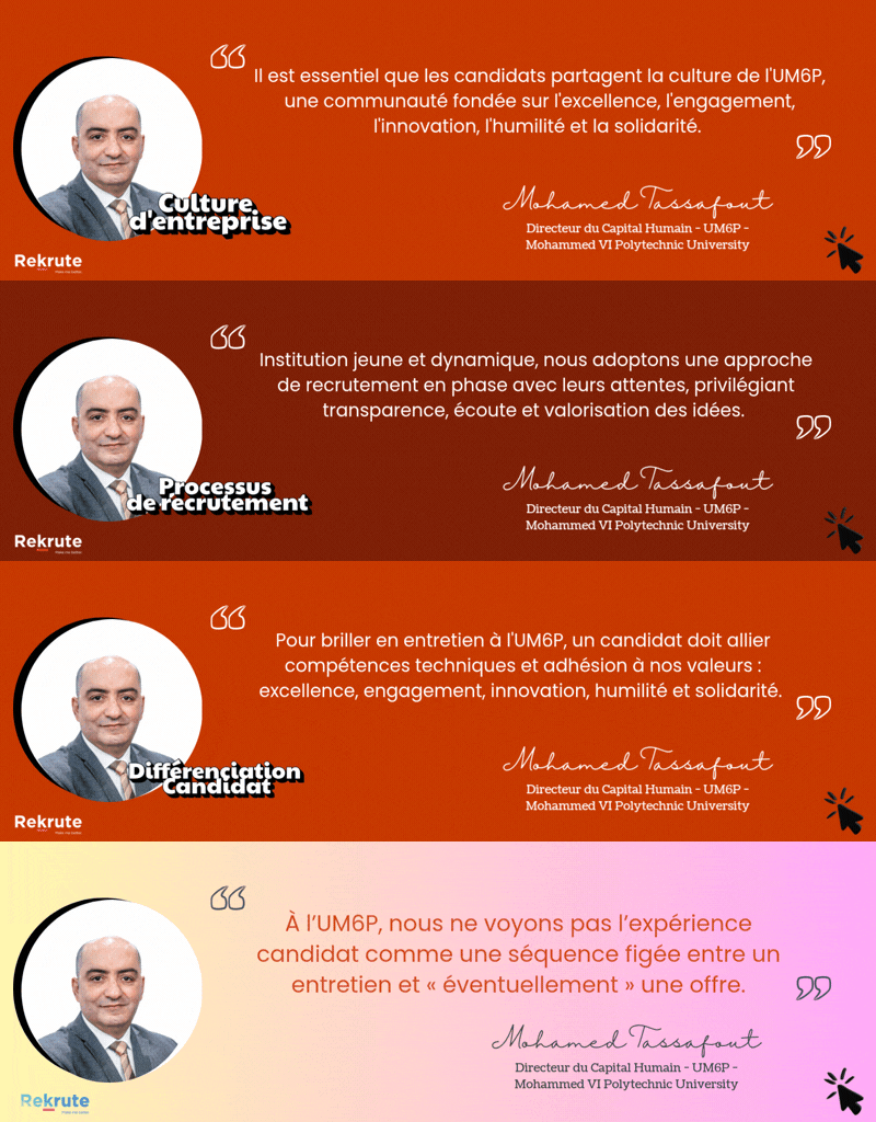
UM6P – Université Mohammed VI Polytechnique se caractérise par une culture fortement orientée innovation, où la créativité, l’expérimentation et l’audace intellectuelle constituent des piliers essentiels. L’université encourage l’initiative, l’ouverture d’esprit et l’autonomie, dans un environnement stimulant tourné vers la recherche, l’entrepreneuriat et l’impact. Cette dynamique innovante est enrichie par une dimension coopérative solide, valorisant la collaboration, le partage des savoirs et le développement humain. Une orientation vers la performance et l’excellence complète l’ensemble, tandis que les processus formels restent volontairement plus légers pour préserver l’agilité.
Poste :
About CRSA
CRSA is a transversal structure across several UM6P Programs. Research within the center is organized around several major areas that aim to ensure the challenging Food and Water security goal in Africa, with a special focus on developing methods/tools that use multi-source remotely sensed data. The research aims to improve our understanding of the integrated functioning of continental surfaces and their interaction with climate and humans, with emphasis on sustainable management of natural resources (soil, land, water, agriculture) in the context of Climate Change. One of the center’s goals is to provide a set of services and operational products to users (local, national and international) that aid in the decision support of water and food systems.
Job Summary
We are seeking a highly skilled engineer with expertise in Remote Sensing preprocessing and Geographic Information System (GIS) applied to precision agriculture to join our team. The successful candidate will play a key role in a yield gap analysis project (imaging4agriculture), using remote sensing data and GIS techniques to analyze and interpret spatial information related to crop yield variations. The engineer will be responsible for preprocessing remote sensing data, developing GIS workflows, and conducting advanced geospatial analysis to identify yield gaps and optimize agricultural practices.
Key Responsibilities
- Preprocess and analyze remote sensing data, including satellite imagery, aerial photographs, and LiDAR data, to derive meaningful information for precision agriculture applications.
- Develop and implement GIS workflows and methodologies for processing, integrating, and analyzing geospatial data related to crop yield variations.
- Collaborate with agronomists, data scientists, and other stakeholders to understand project requirements and develop appropriate analytical approaches.
- Conduct spatial data quality assessment, ensuring the accuracy and reliability of input data.
- Utilize statistical methods to model and predict crop yield variations based on geospatial data inputs.
- Produce maps, reports, and visualizations to communicate analysis results effectively.
- Stay up-to-date with the latest advancements in remote sensing, GIS, and precision agriculture techniques and technologies.
- Participate in project meetings, contribute to project planning, and assist in the interpretation of results.
- Provide technical support and training to project team members and stakeholders as needed.
Profil recherché :
Experience and Qualifications:
- Master's and/or degree in Geomatics, Remote Sensing, GIScience, agronomy, Soil science, vegetation, or related field.
- Strong experience in remote sensing data preprocessing, including image calibration, atmospheric correction, and data fusion techniques.
- Proficiency in GIS software (e.g., ArcGIS, QGIS, ENVI, GDAL) and geospatial analysis tools.
- Familiarity with precision agriculture concepts and technologies, such as yield monitoring, soil sampling, and variable rate application.
- Knowledge of statistical analysis and modeling techniques applied to agricultural data.
- Programming skills in languages commonly used in geospatial analysis, such as Python or R.
- Strong analytical and problem-solving skills, with attention to detail and accuracy.
- Excellent communication skills, both written and verbal, to effectively convey complex geospatial concepts to non-technical stakeholders.
- Ability to work independently and collaboratively in a team environment.
- Experience with yield gap analysis or similar agricultural research projects is a plus.
- Familiarity with ongoing research topics within the CRSA & IWRI
Adresse de notre siège :
Lot 660, Hay Moulay Rachid, Ben Guerir 43150
Traits de personnalité souhaités :
Extraversion Organisation Respect des règles Besoin de réflexion Recherche de nouveauté
Ici, vous pouvez retrouver un taux de recommandation de cette offre pour vous, ainsi que des informations pour mettre en avant votre candidature. Connectez-vous / Inscrivez-vous pour consulter ces informations personnalisées.
ReKrute vous offre ce nouveau test de personnalité pour mieux vous connaitre et valoriser vos candidatures. Passez-le dès maintenant, cela ne prend que 5 minutes maximum.