

UM6P CEDOC- College of Sustainable Agriculture and Environmental Science: Multiscale water balance - Benguerir
Company sector : Education / Training
COMPANY :
Mohammed VI Polytechnic University is an institution dedicated to research and innovation in Africa and aims to position itself among world-renowned universities in its fields The University is engaged in economic and human development and puts research and innovation at the forefront of African development. A mechanism that enables it to consolidate Morocco’s frontline position in these fields, in a unique partnership-based approach and boosting skills training relevant for the future of Africa. Located in the municipality of Benguerir, in the very heart of the Green City, Mohammed VI Polytechnic University aspires to leave its mark nationally, continentally, and globally.
What our employees love most about working here ❤ : Read our verified reviews
Company culture :
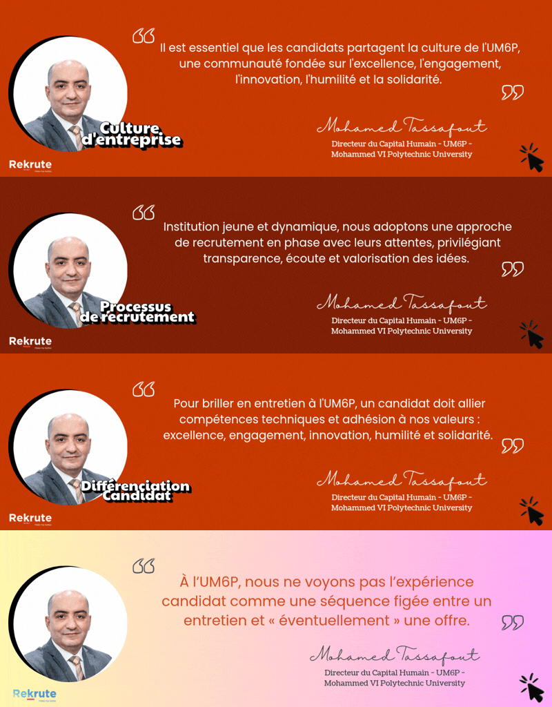
UM6P – Mohammed VI Polytechnic University operates within a strongly innovation-driven culture, where creativity, experimentation and intellectual boldness are key foundations. The university promotes initiative, openness and autonomy in a stimulating environment focused on research, entrepreneurship and impact. This innovative mindset is reinforced by a solid cooperative dimension, fostering collaboration, knowledge sharing and human development. A clear focus on performance and excellence further supports this culture, while formal processes remain lighter to maintain agility and flexibility.
Job :
Background
Accurate quantification of surface and groundwater storage change is crucial for sustainable water resource management. Conceptual hydrological models have been for so long the main tools that provide such information for planning purposes. These models are available under various configurations from simple lumped to more complex and distributed models. They are widely used by water managers due to their low requirements of input data and flexibility in application. Although they are of huge attractiveness, these kinds of models can be quite challenging when used to simulate streamflow in ungauged watersheds. The inadequacy of their structure to a specific hydrologic regime and, thus, their susceptibility to equifinality increases the uncertainty of the model outputs. Data-driven models constitute an unprecedented opportunity to deal with such issues, particularly with the emergence of several large-scale hydrometeorological gridded data. In recent years, many remote sensing-based datasets (e.g., Rainfall from GPM IMERG, Snow cover from MODIS, Soil Moisture from SMAP) have become available which can serve as inputs within a water fluxes modeling scheme.
In this perspective, the main objective of the proposed Ph.D. thesis is to develop a data-driven water balance modeling scheme. The approach relies on integrating multisource freely available remote sensing hydrometeorological datasets to simulate the main components of the water balance.
Key duties
The proposed research includes the following tasks:
- Collect and process in situ and remote sensing data.
- Design and conduct fieldwork for in-situ measurements and samplings.
- Implement and evaluate different conceptual and data-driven models for simulating the main water balance components (e.g., Surface runoff, snowmelt)
- Assess the sensitivity of the models to changes in environmental factors.
- Quantify the contribution of the drainage area to the storage changes of surface and underground reservoirs.
- Develop a water balance modeling scheme integrating multisource hydrometeorological remote sensing data.
- Publish scientific papers in peer-reviewed journals and deliver presentations and progress reports.
Required profile :
Criteria of the candidate
The candidate is expected to have a Master's or engineering degree in geosciences, hydrology, remote sensing, or a closely related field.
Skills
Candidate should be/have:
- Goode knowledge in hydrology and remote sensing techniques.
- Good skills in computer programming tools (Matlab or python).
- Skills in handling Remote sensing and GIS tools.
- Knowledge in statistics and mathematical modeling.
- Experience in time series processing, analysis, and interpretation.
- Familiarity with running and evaluating environmental models (Conceptual and Data-driven ones).
- Good speaking and writing communication skills.
- The ability to deliver scientific publications, Presentations, and progress reports.
- Ability to work in collaboration with other team members or other UM6P departments
Find out if this job is right for you
Take the free ReKrute personality test and instantly get your compatibility score with this job and with the culture of more than 150 companies on the market.
