

UM6P CEDOC- CRSA : Leveraging high resolution remote sensing to assess the water use efficiency in a - Benguerir
Company sector : Education / Training
COMPANY :
Mohammed VI Polytechnic University is an institution dedicated to research and innovation in Africa and aims to position itself among world-renowned universities in its fields The University is engaged in economic and human development and puts research and innovation at the forefront of African development. A mechanism that enables it to consolidate Morocco’s frontline position in these fields, in a unique partnership-based approach and boosting skills training relevant for the future of Africa. Located in the municipality of Benguerir, in the very heart of the Green City, Mohammed VI Polytechnic University aspires to leave its mark nationally, continentally, and globally.
What our employees love most about working here ❤ : Read our verified reviews
Company culture :
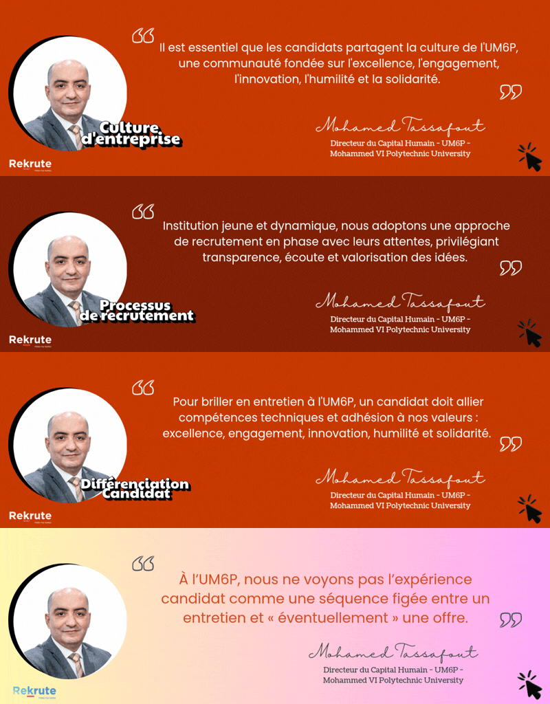
UM6P – Mohammed VI Polytechnic University operates within a strongly innovation-driven culture, where creativity, experimentation and intellectual boldness are key foundations. The university promotes initiative, openness and autonomy in a stimulating environment focused on research, entrepreneurship and impact. This innovative mindset is reinforced by a solid cooperative dimension, fostering collaboration, knowledge sharing and human development. A clear focus on performance and excellence further supports this culture, while formal processes remain lighter to maintain agility and flexibility.
Job :
The trade-off between increasing agricultural production and groundwater conservation, which is often the only irrigation source in arid regions, is a major challenge for water managers, decision-makers, and the scientific community. Monitoring of the water use efficiency (WUE) provides a measure of the water lost from a canopy to the atmosphere relative to the biomass produced by the plants and can be used to inform efforts that seek to reduce irrigation without impacting upon the yield. Using high-resolution satellite data, we can determine the spatiotemporal patterns of water and CO2 fluxes exchanges between the canopy and the atmosphere, which is the key for different applications.
This PhD thesis aims to using RS to further improve our understanding and operational guidance for efficient crop water use by providing more detailed information related to crop stress, plants phenology and water content in soil and vegetation separately.
Key duties
The proposed research includes the following tasks:
- Conducting experimental fieldwork involves performing in situ measurements and sampling;
- Processing water and CO2 fluxes measured by the EC system;
- Developing original methods to optimally exploit the synergy of coincident observations from different sensors;
- Evaluating the water and CO2 fluxes in the agro-ecosystem area;
- Assessing the effect of environmental conditions on the coupling of water and CO2 processes;
- Improving the accuracy of the WUE estimates.
- Writing scientific papers and communicating research results in international workshops and conferences.
Furthermore, the doctoral student will be required to engage in collaborative efforts with the IWRI and CRSA teams, as well as other departments within UM6P.
Applications
Applications must be sent in a single electronic zipped folder. The folder must contain: 1) A cover letter 2) a detailed Curriculum vitae, 3) Reported notes from DEUG, License and Master or equivalent degrees, 4) a copy of the master’s degree or equivalent certificate/diploma, 5) Electronic copies of the Master thesis or equivalent.
Required profile :
Criteria of the candidate
Master's or engineer degree in Physics, Earth, Environmental, or Remote Sensing Sciences with a Focus on Water Resources Management.
Skills
Candidate should be/have:
- Familiar with remote sensing techniques and long-term data analysis;
- Experience in developing, implementing data exploration, sampling, training data generation, model building, and performance evaluation;
- Good skills in computer programming tools (e.g., Matlab, python, R), GIS techniques and modelling;
- Ability to learn autonomously and work in a multi-disciplinary team environment;
- Knowledge in hydrogeology discipline is an asset.
Find out if this job is right for you
Take the free ReKrute personality test and instantly get your compatibility score with this job and with the culture of more than 150 companies on the market.
