

Research Assistant Remote sensing and geological exploration - Benguerir
Secteur de l’entreprise : Enseignement / Formation
ENTREPRISE :
Mohammed VI Polytechnic University is an institution dedicated to research and innovation in Africa and aims to position itself among world-renowned universities in its fields The University is engaged in economic and human development and puts research and innovation at the forefront of African development. A mechanism that enables it to consolidate Morocco’s frontline position in these fields, in a unique partnership-based approach and boosting skills training relevant for the future of Africa. Located in the municipality of Benguerir, in the very heart of the Green City, Mohammed VI Polytechnic University aspires to leave its mark nationally, continentally, and globally.
Ce que nos collaborateurs aiment le plus chez nous ❤ : Consultez nos avis certifiés
Culture de l'entreprise :
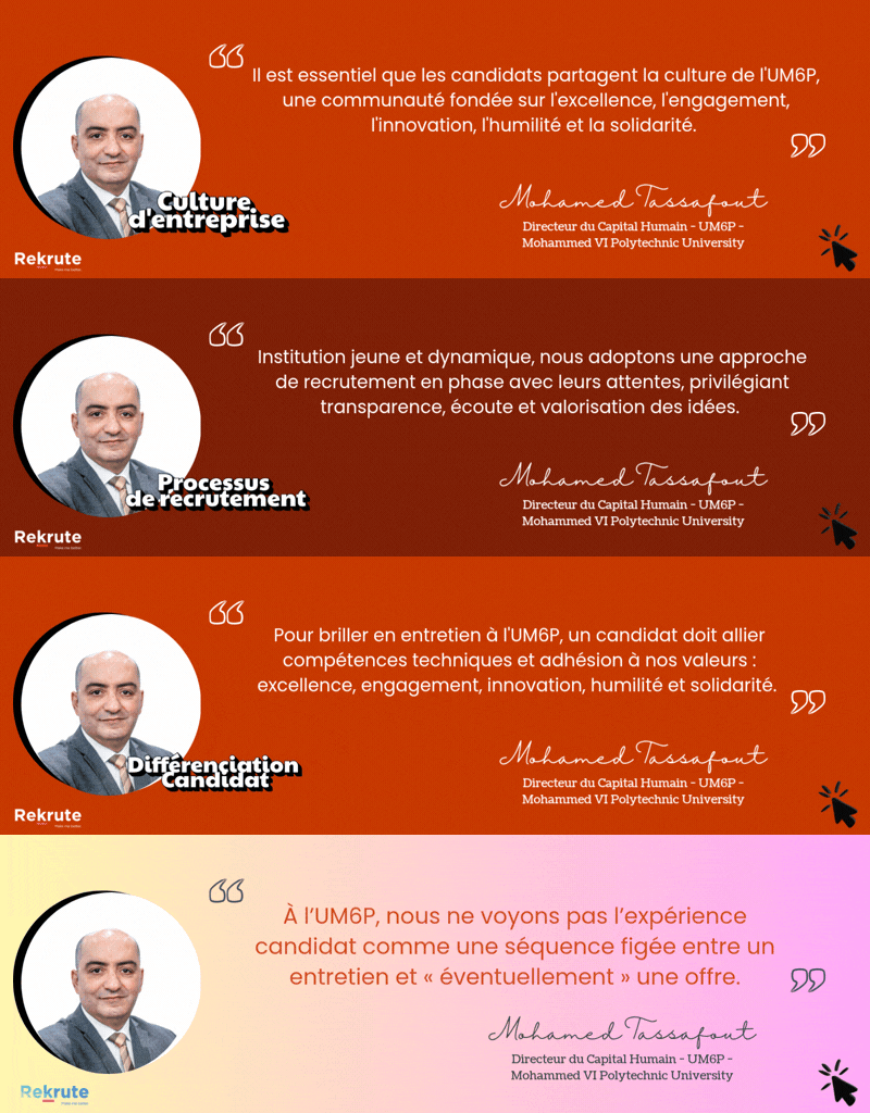
UM6P – Université Mohammed VI Polytechnique se caractérise par une culture fortement orientée innovation, où la créativité, l’expérimentation et l’audace intellectuelle constituent des piliers essentiels. L’université encourage l’initiative, l’ouverture d’esprit et l’autonomie, dans un environnement stimulant tourné vers la recherche, l’entrepreneuriat et l’impact. Cette dynamique innovante est enrichie par une dimension coopérative solide, valorisant la collaboration, le partage des savoirs et le développement humain. Une orientation vers la performance et l’excellence complète l’ensemble, tandis que les processus formels restent volontairement plus légers pour préserver l’agilité.
Poste :
Description:
Position Title: Research Assistant - CDD Remote sensing and geological exploration
Duration: 12 months
We are seeking a motivated and skilled Research Assistant to join our team to support ongoing geological exploration projects. The position involves the use of advanced remote sensing techniques for prospectivity mapping. The successful candidate will play a key role in the early stage of exploration for two important projects: Natural hydrogen and Potassium-rich igneous rocks in the Aousserd Area.
For natural hydrogen, also known as white hydrogen, which is produced by natural deep-earth processes, the tasks involve using various specialized datasets to create a prospectivity map of a large area and identify the most potential zones for fieldwork. The spatial data will be generated using remote sensing techniques including lineament maps, Normalized Difference Vegetation Index (NDVI), mapping of fairy circles, and geological mapping, among others.
For the exploration of potassium-rich igneous rocks in the Aousserd Area, the tasks primarily involve applying predictive remote sensing techniques to map K-syenite facies using the spectral signatures of targeted facies.
The candidate may also be required to work on other exploration projects as needed.
Key Responsibilities:
- Assist in the development and application of remote sensing methodologies to identify and map areas with potential for targeted resources.
- Participate in the processing and analysis of satellite and aerial imagery to extract geological information.
- Collaborate with senior researchers to integrate remote sensing data with geophysical, geochemical, and geological data.
- Help in preparing maps, reports, and presentations that summarize research findings.
- Manage and maintain databases of geological information and remote sensing data.
- Support the team in fieldwork operations by preparing necessary equipment and tools and ensuring data collection aligns with project goals.
Required documents include:
- An application letter,
- A Curriculum Vitae,
- A digital copy of the Master/Engineer thesis
Profil recherché :
Skills:
We are looking for highly motivated and enthusiastic candidate, who should have:
- Good skills in exploration geology, remote sensing and data analysis and visualization
- Experience in using GIS software and remote sensing tools such as ArcGIS, QGIS, ENVI, or ERDAS Imagine
- Data processing and analysis skills (programming language: R, Matlab, Python or other).
- A good understanding of the mineral exploration workflow
- Skills on field investigations
- Good communication skills, both written and oral (French and English), are essential
- Ability to work in collaboration and in a team
- Strong analytical skills for effective problem solving
Criteria of the candidate:
Master's or Engineering degree in Geology with a specialization in applied remote sensing for mineral exploration, exploration geology, or a related discipline.
Découvre si ce poste est fait pour toi
Passe le test de personnalité gratuit ReKrute et obtiens instantanément ton score de compatibilité avec ce poste et avec la culture de plus de 150 entreprises du marché.
