

Research Engineer Position in GIS and Geodata Analytics - Benguerir
Secteur de l’entreprise : Enseignement / Formation
ENTREPRISE :
Mohammed VI Polytechnic University is an institution dedicated to research and innovation in Africa and aims to position itself among world-renowned universities in its fields The University is engaged in economic and human development and puts research and innovation at the forefront of African development. A mechanism that enables it to consolidate Moroccos frontline position in these fields, in a unique partnership-based approach and boosting skills training relevant for the future of Africa. Located in the municipality of Benguerir, in the very heart of the Green City, Mohammed VI Polytechnic University aspires to leave its mark nationally, continentally, and globally.
Ce que nos collaborateurs aiment le plus chez nous ❤ : Consultez nos avis certifiés
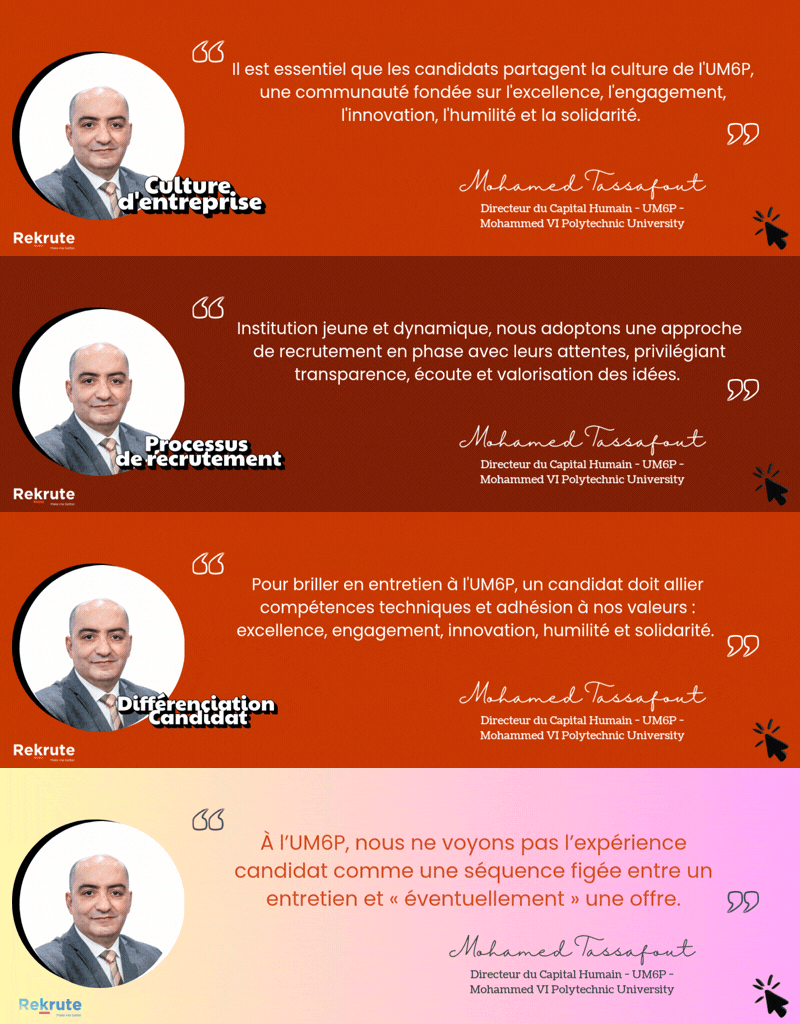
Culture de l'entreprise :
UM6P – Université Mohammed VI Polytechnique se caractérise par une culture fortement orientée innovation, où la créativité, l’expérimentation et l’audace intellectuelle constituent des piliers essentiels. L’université encourage l’initiative, l’ouverture d’esprit et l’autonomie, dans un environnement stimulant tourné vers la recherche, l’entrepreneuriat et l’impact. Cette dynamique innovante est enrichie par une dimension coopérative solide, valorisant la collaboration, le partage des savoirs et le développement humain. Une orientation vers la performance et l’excellence complète l’ensemble, tandis que les processus formels restent volontairement plus légers pour préserver l’agilité.
Poste :
Job Description
The Geology and Sustainable Mining Institute (GSMI) at Mohammed VI Polytechnic University (UM6P) is seeking applications for a 12-month Engineer position in the field of GIS and Geodata Analytics, with a particular focus on spectral data integration, digitalization and data science.
The selected candidate will contribute to an OCP-funded research project aimed at enhancing geological mapping efficiency and resolution through workflows using advanced geological and geospatial data analysis. The work will involve remote sensing data analysis, digitalisation and database implementation to support structural and sedimentary mapping activities.
Profil recherché :
Qualifications
- Bac+5, preferably a masters degree in geology, geoinformatics, or related fields.
- Proven experience in GIS and geological mapping.
- Familiarity with tools such as QGIS/ArcGIS, ENVI, or for geodata processing.
- Ability to work with large datasets and perform spatial and statistical analysis.
- Strong collaborative mindset and critical thinking skills.
Application Process:
- Interested candidates should submit the following documents:
- A cover letter detailing their research interests and relevant experience.
- A curriculum vitae (CV) including a list of publications, if applicable.
- Contact information for two professional references.
- Any additional documents that the candidate considers relevant for the recruitment process.
Applications should be submitted electronically with all documents attached in a single file or zipped in a single folder, using the subject line Geodata analytics.
All applications will be reviewed by a scientific committee. Shortlisted candidates will be invited to attend an interview.
Découvre si ce poste est fait pour toi
Passe le test de personnalité gratuit ReKrute et obtiens instantanément ton score de compatibilité avec ce poste et avec la culture de plus de 150 entreprises du marché.
